")


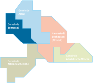
The municipality of Zehrental and its districts
The municipality of Zehrental currently has around 880 inhabitants. The total area is 72.3 km², resulting in a population density of 13 inhabitants per km². The municipality includes the districts of Bömenzien, Deutsch, Drösede, Gollensdorf, Groß Garz, Jeggel and Lindenberg.
Bömenzien
In the north and east, the district is an open agricultural landscape, whereas the western and south-western parts in particular are almost completely covered with forest. The Zehrengraben, which runs in a north-south direction, flows directly east of the village and widens into a small body of water near the village before flowing into the Seege a little north of the village. In the north, the district extends as far as the "Alte Seege", a stream on the other side of the Seege, which runs east-west here. The north-eastern part of the district belongs to the Aland-Elbe lowlands and this protected area is part of the Middle Elbe Biosphere Reserve. The Kapermoor is located in the extreme south-west of the district.
German
The village used to be located in the restricted zone on the inner-German border. Today, Deutsch is part of the Aland-Elbe lowlands. This protected area is part of the Middle Elbe Biosphere Reserve, one of a total of four reserves in the Elbe River Landscape Biosphere Reserve, which was recognized by UNESCO in 1997.
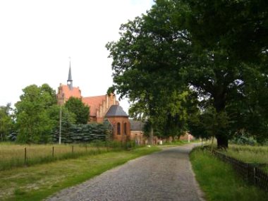
Drösede
This district is located 11 kilometers northeast of Arendsee (Altmark) The village is on the Altmark Circular Cycle Route, which runs from Gollensdorf through the village on to Bömenzien
Gollensdorf
Gollensdorf, which is surrounded by scrub and heath forest, is one of the few places that can still be recognized as an old round village. To the south, east and north-east, the Feldmark is enclosed by the moor ditch. A chain of hills stretches from the village to the Lileiser Berg, and the Feldmark also has several small ridges.
Great Garz
Groß Garz is a linear village. The settlement of "Haverland" also belongs to the village. There is a sports club that is active in weight training, among other things. Groß Garz also has a consumer cooperative. In addition to the elementary school in the Hanseatic city of Seehausen (Altmark), there is another elementary school here.
Yeggel
Jeggel used to be a round village and is now a street village.
Lindenberg
To the south, the Lindenberg district borders the "Eastern edge of the Arendsee plateau" landscape conservation area.